
Sources Around New Martinsville Neighbors
A block search should begin with the land pattern. The state parcel viewer can reveal adjoining shapes and link each lot to an assessment record. The tax detail supplies owner and address labels, sales and prior-owner fields, but it does not name every person at the site. The official city map gives street and route context. E-911 rules explain number changes. Historic surveys can date and describe some buildings on Main, North, and Maple streets without turning architecture into a household record.
| Source | What It Shows About a Block | Access |
|---|---|---|
| WV Property Viewer | Adjacent geometry, parcel links, owner and address search, flood context | Public viewer, 500-result limit |
| WV assessment detail | Owner, mailing, physical and E-911 labels, class, sales, prior history | Public search; open cards one by one |
| WVDOT city map | Official street names, routes, and city geography | Public PDF map |
| Wetzel County E-911 | Number rules, shared drives, and reasons a road may be readdressed | County FAQ and office |
| Local history sources | Dated building, street, directory, and community context | Library, museum, archives, and survey |
Describe the result with care. “Owner of record for an adjoining parcel” is supported when the card says so. “Neighbor” in the social sense is not. One tract may be vacant, exempt, civic, flood-prone, or hold several structures. The mailing address may point out of town. A person named in a voter record is also not a public cue to map or republish a whole household.
Open New Martinsville Parcels Individually
The WV Property Viewer offers E-911 address, parcel-attribute, and geometry searches. Address mode uses the statewide addressing system and does not accept rural routes or post-office boxes. Parcel attributes can use county, parcel number, owner, or property address. Owner text may be partial and follows a LASTNAME FIRSTNAME convention. Broad results stop at 500, so a small map window is more dependable than a citywide name query.
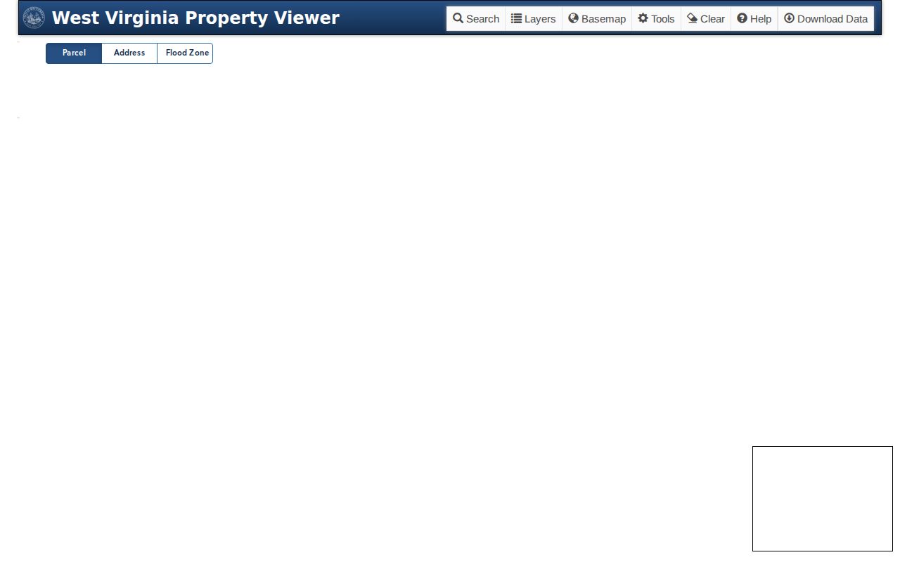
The viewer image shows the public starting point. Select the subject lot, note the parcel ID, then click only the parcels that touch it. Open each assessment detail and record the same small field set: parcel key, street label, owner-of-record label when needed, class, and vacant or exempt status. This method keeps New Martinsville neighbors tied to a clear geographic question and avoids a loose list of names.
Map a New Martinsville Block
Use a tight, repeatable sequence. The goal is to explain which parcels surround one site and what the public land records say about them. Do not assume that a map owner is the person who answers the door. Preserve physical, mailing, postal, and E-911 labels as separate fields.
- Normalize the street with an official city map or postal tool, then search the E-911 form. If it fails, use parcel attributes.
- Open the subject parcel and copy its root parcel ID, map number, legal description, and each address label.
- Identify the shapes that share a boundary. Open each adjoining parcel separately because multi-card details can be incomplete in a map tooltip.
- Compare the assessment card, flood field, tax class, sales date, and vacant or exempt status. Treat an owner name as an ownership fact only.
- For all addresses along one named road, shift to the New Martinsville street directory workflow.
A concise research note might read: address checked, parcel ID, adjoining parcel IDs, source date, and any label mismatch. That is enough to reproduce the map work later. It also leaves out personal fields that are not needed to understand the block.
When a lot has more than one assessment card, open the full detail and note that the map tooltip may be incomplete. Compare deeded and calculated acreage without assuming either one describes a yard boundary on the ground. Sales price is historical, not a current value, and a validity code may flag a transfer that was not an ordinary market sale. Those fields help explain changes in the parcel record, but they say nothing about a social tie among nearby households.
Wetzel Address Rules Shape Neighbors
Wetzel County assigns road numbers at 5.28-foot intervals, creating 1,000 possible numbers per mile with odd and even numbers split by side. Shared driveways can receive a road name when they meet county criteria. Duplicate numbers, bad sequence, A/B suffixes, or an address on the wrong side can prompt readdressing, and an entire road may change.
The county E-911 addressing FAQ explains those rules and the update process:
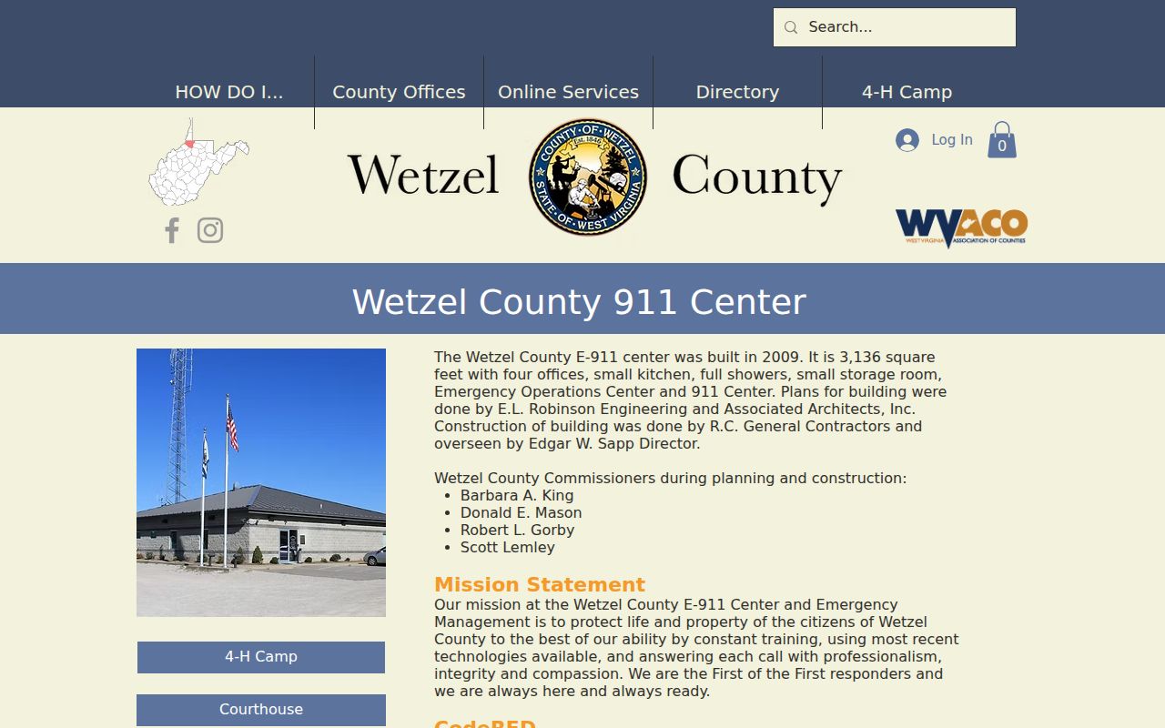
The county says a change can take about one year to work through mail systems. A mismatch therefore does not show that someone moved. Keep the older road form, the current emergency label, and the parcel's legal description together. No complete public crosswalk or citywide renumbering year was verified.
New Martinsville Blocks Are Uneven
Wetzel's river setting and hills can produce blocks that do not act like a flat city grid. A river-side parcel may carry a flood field, face one street, use another route for emergency access, and send tax mail elsewhere. A steep tract or shared drive may use a newer named road. One parcel can hold multiple building cards, while the next shape may be an unaddressed lot or public utility tract.
The official sample city parcel makes the point without exposing a private person. It lists a municipal mailing address on Main Street, a physical address at 527 Main Street, and an E-911 address at 527 Market Lane. It is vacant/exempt civic land with high flood risk and prior-history fields. The correct lesson is not who lives there. It is that nearby shapes must be read by parcel, address type, and land status before drawing any conclusion about New Martinsville neighbors.
No Verified Neighborhood Directory
Research did not locate a verified public New Martinsville neighborhood-association or homeowners-association directory. No contact roster should be invented to fill that gap. The city has six-ward civic geography and public meetings, but a historical council roster should not be presented as current without fresh verification. Ward lines help explain civic place, not household membership.
| Local resource | What was verified | Directory limit |
|---|---|---|
| New Martinsville Public Library | Genealogy, local history, public contact, and a monthly genealogy club | No neighborhood resident roster found |
| Wetzel County Museum | Local history and Scrapbook Project at 136 Main Street | Clippings are clues, not a current directory |
| Wetzel-Tyler Chamber | Business and community network | Not a resident or block list |
| City wards | Six-ward civic geography and open meetings | Verify current officials; no household roll |
These sources are still useful for learning about a block. Library files and museum scrapbooks may add dated street or building context. Public meeting materials may explain a road or public project. Client, member, utility, and service records remain private unless a law and custodian clearly make a specific record public.
The historic resources survey offers another safe layer. It records approximate dates and styles for examples along Main, North, and Maple, including Victorian, Craftsman, Colonial Revival, and Romanesque work. Pair a surveyed address with its mapped parcel and a dated archive item to study how a block grew. The survey describes a building, not the New Martinsville neighbors who used it, so names still require a separate, time-specific source.
Verify New Martinsville Neighbor Results
Official records and commercial neighbor tools have different strengths. A government record is tied to a custodian and a defined administrative purpose. A commercial result may merge old addresses and names from many feeds. Neither should be treated as a live household roll.
| Source category | Useful for | Do not infer |
|---|---|---|
| Parcel and assessment records | Land shape, parcel key, owner of record, and address labels | Current occupants or personal ties |
| Official voter channels | An eligible registration check or a lawful noncommercial file request | A full household, phone, email, or identity number |
| Commercial neighbor tools | A possible lead that must be checked at the source | Accuracy, freshness, or a complete block |
West Virginia's voter lookup requires first name, last name, and date of birth. It can return status, party, districts, and polling place, but it is informational and directs corrections to the county clerk. State law excludes phone, email, Social Security, and driver-license or ID numbers from public release. A file request also carries a noncommercial-use rule. Those limits make it a poor tool for compiling or publishing names around an address.
Protect New Martinsville Neighbors
Public access has firm edges. Parcel data does not list every person in a home. Utility and service accounts are not a public block directory. Juvenile, adoption, sealed, and protected records have separate limits. West Virginia's Address Confidentiality Program can give eligible survivors a substitute address and mail forwarding for four-year enrollment periods, though private companies are not required to accept that substitute address.
Collect the least data needed for a personal map or history question. Do not post a date of birth, inferred family tie, contact detail, or a protected address. If a parcel label conflicts with a road sign or emergency route, ask the custodian which system the field represents. An unanswered gap is safer and more accurate than guessing who your neighbors are.
Lawful use. Use neighbor records for civic curiosity, local history, reconnecting, or personal safety awareness. West Virginia law prohibits stalking and harassment, and public map data must never be used to watch, threaten, or intimidate anyone.